


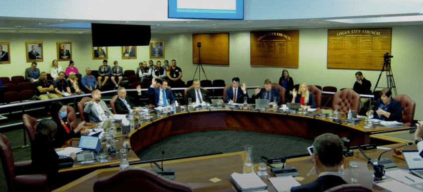
Thousands of so-called flood affected properties are set to be slashed from Logan City Council’s controversial flood maps, with the council expected to approve changes at a special council meeting on Tuesday.
Logan mayor Jon Raven said changes would be implementation in early 2027 subject to council and state approvals.
“Once the proposed changes take effect it is expected the overall number of properties in the flood mapping overlay would reduce by 56.8%,” Cr Raven said.
The overlay would be limited to the flood with a 1% chance of occurring in any year, removing rarer scenarios from ordinary planning maps.
Carports could be permitted in high-flow areas where their design did not obstruct floodwater.
Land affected by slow-moving floodwater less than 300mm deep would face reduced requirements, focused on minimum floor levels and preventing development from worsening flooding elsewhere.
“We know residents feel strongly about this, and we thank everyone who’s provided feedback,” Cr Raven said.
“We want the community to have access to clear and practical information, and the proposed changes respond to feedback while continuing to support a safe and resilient community.”
The proposed Temporary Local Planning Instrument would implement changes endorsed in June.
“While a TLPI doesn’t require formal consultation, we received more than 4000 submissions on the draft Logan Plan in 2025 with the majority relating to flood mapping and planning policy,” Cr Raven said.
“Feedback from that consultation has informed the preparation of the proposed TLPI.”
The Probable Maximum Flood would disappear from the Logan Flood Portal and property reports, although information covering rarer floods up to the one-in-2000 annual-chance event would remain available.
Removal from the overlay would not eliminate physical flood risk or guarantee cheaper insurance.
“Council does not set insurance premiums or determine how insurers price risk,” council’s flood-mapping FAQ states.
If endorsed, the instrument would require Queensland Government approval before returning to the council for adoption.
The meeting will be public and livestreamed from 2pm on Tuesday 6 October at youtube.com/logancitycouncil.
Subscribe to stay up-to-date with news from across Logan. You’ll receive a link to our digital newspaper direct to your inbox each week. It’s free.